EK Specialist Surveys
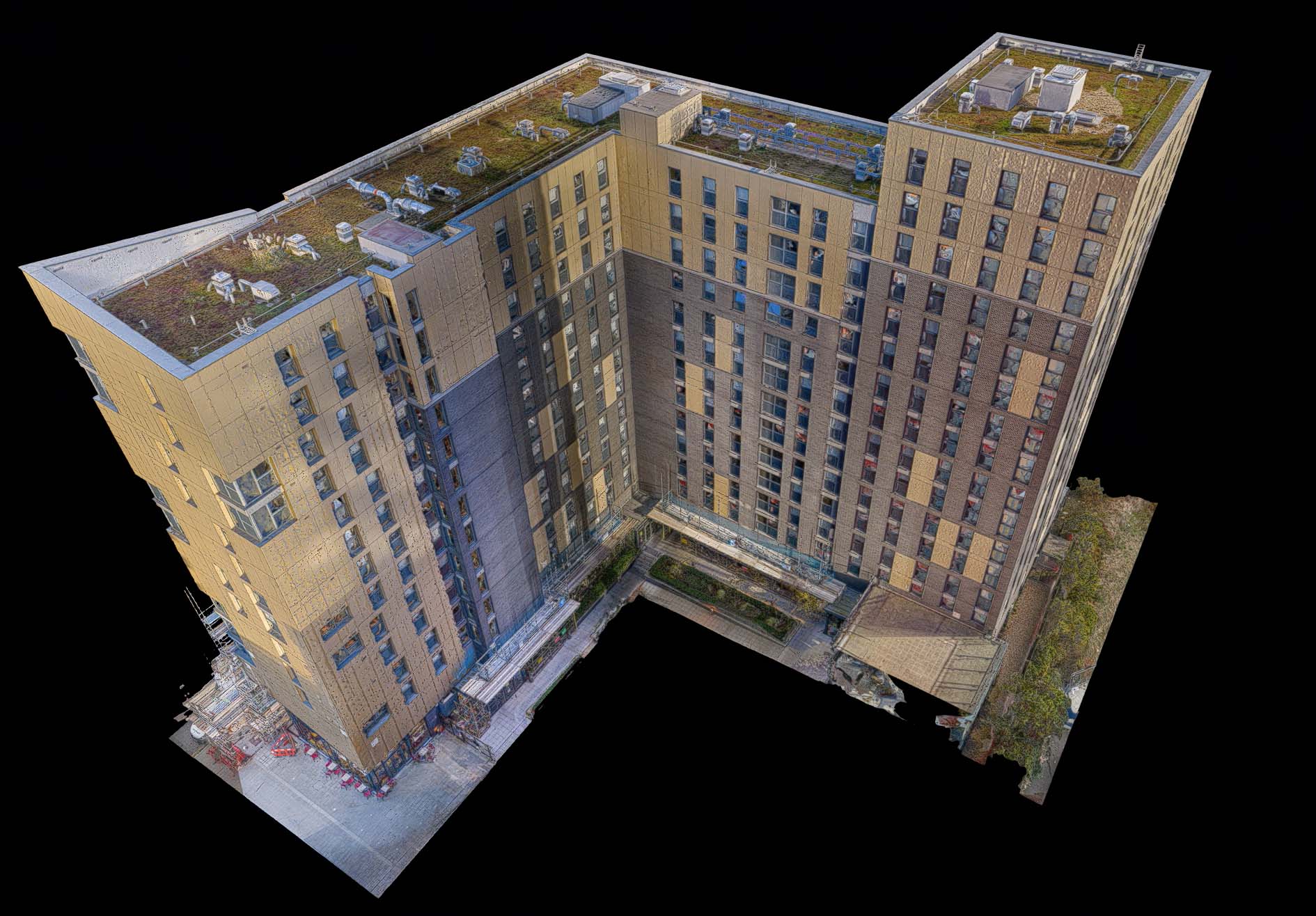
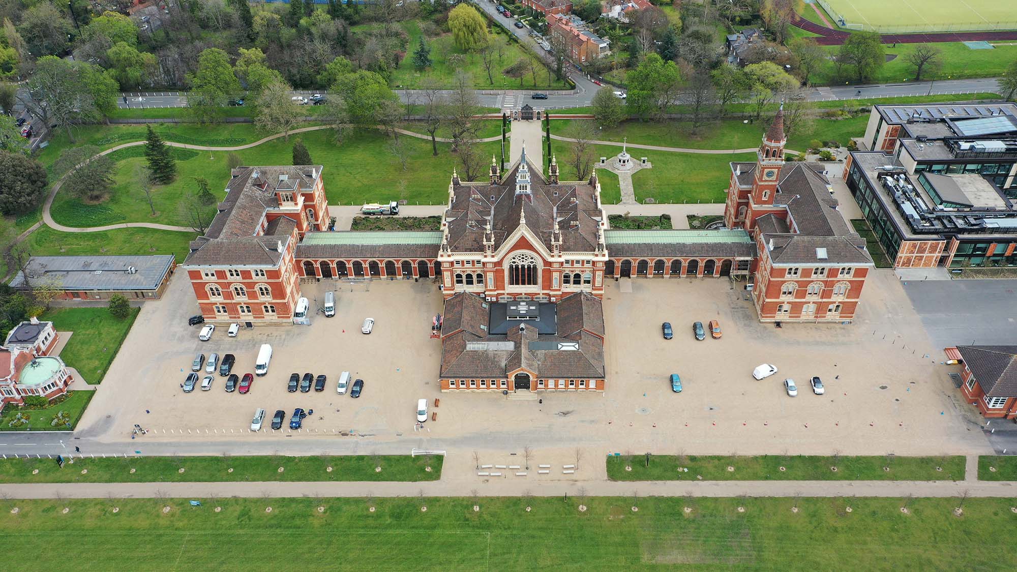
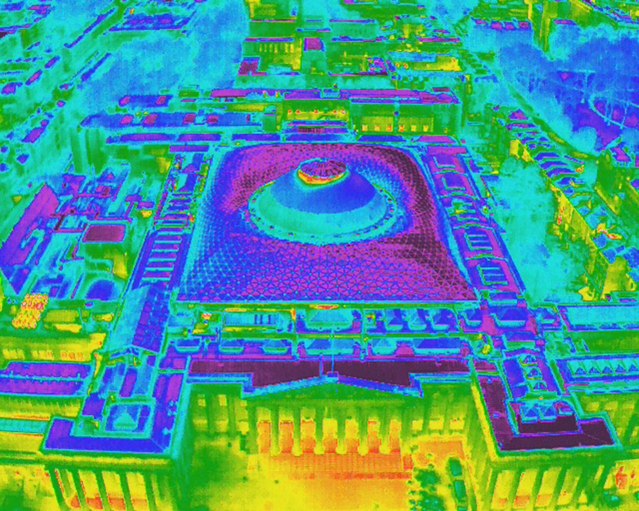
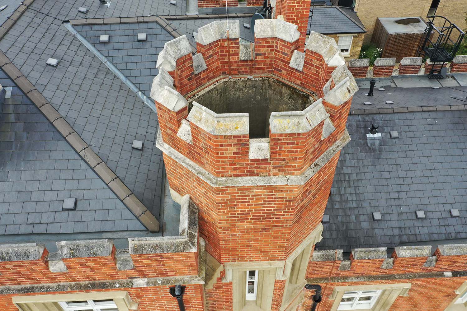
Drone. Thermal. Leak Tracing. Time-lapse.
Welcome to EK Specialist Surveys – providing comprehensive survey solutions for residential blocks, commercial and industrial premises.
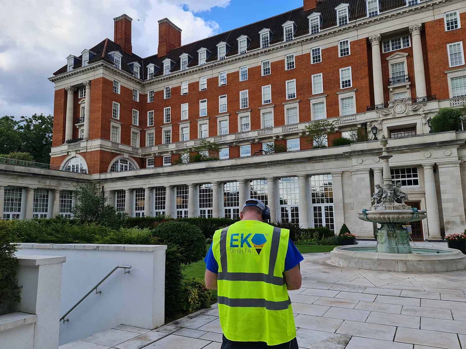
Expertise you can trust
With over 10 years of experience, we are the leading experts in drone surveys, thermographic surveys, leak tracing, timelapse, and forensic building envelope surveys.
At EK Specialist Surveys, we understand that a comprehensive survey is crucial to understanding the performance of any building. That’s why we offer a range of cutting-edge survey solutions to help our clients identify any potential issues and take prompt corrective action.
Our specialist surveying solutions
Scroll to view our specialist services
At EK Specialist Surveys, we pride ourselves on delivering high-quality specialist survey solutions to our clients.
We work closely with all our clients to understand their specific requirements and provide a tailored service that meets their needs. Contact us today to learn more about our services and how we can help you.
